The planning system can seem overwhelmingly complex. This is partly due to the many layers of planning policy and the many actors involved in developing, implementing and enforcing those policies.
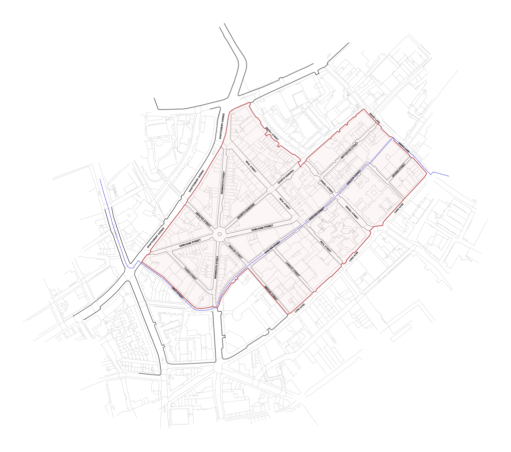
In addition to planning policies in general, those with an interest in Seven Dials must be aware of policies specific to conservation areas, such as the Seven Dials (Camden) and Covent Garden (Westminster) Conservation Areas.
No one resource for all things planning exists, however, a number of organisations offer information and advice relevant to Seven Dials planning issues. These include:
- London Borough of Camden Planning Department
- Westminster City Council Planning Department
- Historic England
- The Planning Portal
- The Town and Country Planning Association
For most, the local council is the face of the planning system, as local government is responsible for administering the bulk of planning activities. Local councils’ planning responsibility includes developing local policies and preparing local plans, making decisions about planning applications and carrying out enforcement against unauthorised development.
Local plans set out a vision and provide the framework for development of an area. Each local planning authority must prepare a local plan that sets out planning policies within the local authority’s area. These local plans are the basis for making decisions on planning applications, thus they are vitally important to the future of neighbourhoods, cities and towns. All local authorities in England must have their local plans approved by an independent planning inspector to establish that the Plan is ‘sound’ and conforms with legal requirements. . Local plans must be consistent with national policy and, in London, be in ‘general conformity’ with the Mayor’s London Plan (March 2021)
The Seven Dials Trust works with two local planning authorities, the London Borough of Camden and the City of Westminster.
In Camden
The majority of Seven Dials falls within the London Borough of Camden. Camden has adopted several planning documents that form the Development Plan for the borough. Collectively, these documents detail Camden’s planning strategy and policies.
Camden have agreed that this study is a ‘material consideration’ for planning purposes.
Camden Local Plan 2017
Camden adopted its Local Plan in 2017. It forms the basis for planning decisions and future development throughout the borough.
Chapter 7, “Design and Heritage,” and Chapter 9, “Town Centres and Shops” are particularly relevant for Seven Dials.
Camden Site Allocations Plan
The Site Allocations Plan is used alongside other policies in Camden’s Development Plan to assess new development proposals on key sites and areas. More information can be found on the London Borough of Camden’s site allocations webpage.
Neighbourhood Plans
Up to date information on neighbourhood plans in Camden can be found here.
Camden Planning Guidance (‘CPGs’)
The Council uses its Camden Planning Guidance (‘CPGs’) to support the policies set out in the Camden Local Plan 2017. The Planning Guidance documents provide advice and further information about how the Council will apply its planning policies.
Of particular interest for Seven Dials are the documents on Design, Amenity, and Planning Obligations.
Seven Dials Conservation Area Statement
Camden Council adopted the Seven Dials Estate Conservation Area Statement in 1998. This statement defines the characteristics of the area, including shopfronts, streetscapes and materials, and is used by the Council in assessing all development proposals, including planning applications. The statement provides guidance regarding what types of alterations or development are permitted in the area.
Camden Streetscape Design Manual
The Camden Streetscape Design Manual complements other existing guidance and policy documents and covers topics from general conservation to specific footway materials. The manual is available for purchase here.
In Westminster
The borough boundary runs along Shelton Street, with Westminster to the south. Several planning documents make up Westminster City Council’s Development Plan. These documents set out the policies that the Council uses to determine planning applications and include:
1 – Westminster’s City Plan 2019-2040 and Westminster’s City Plan 2019-2040 Policies Map
The City Plan 2019-2040 and the Policies Map are the key documents used in determining planning applications in Westminster. Both were adopted by full council on 21st April 2021. Therefore, the City Plan (November 2016) and the ‘saved’ UDP policies are now superseded and are not part of Westminster’s Development Plan. Policies in both documents have now been deleted or replaced by policies in the City Plan 2019-2040.
The City Plan (November 2016) and the saved UDP policies should, therefore, not be used when determining planning applications in Westminster. However, they may continue to be used when referring to old planning applications or appeals.
The City Plan 2019-2040 (Appendix 3) contains a table that sets outs which City Plan (November 2016) and UDP saved policies have been deleted. When they have not been deleted, the table sets outs which policy in City Plan 2019-2040 supersedes them.
- Westminster is currently working on a Site Allocations Plan (SAP). This will be a Development Plan Document (DPD) that will identify key development sites that can make a substantial contribution towards the growth targets set in the Westminster City Plan. It will provide site specific site guidance and requirements for individual sites, to ensure development comes forward in a manner that ensures each site fulfils its potential and properly responds to context.
- Supplementary Planning Documents and Guidance– These planning guidance documents support the Council’s planning policies. There are broadly three types of planning guidance: topic-based documents; conservation area audits; and planning briefs. These documents do not have the same status as the policies within the Westminster’s Development Plan but may be a material consideration when assessing planning applications in Westminster.
- The Council has other guides relevant to planning issues, but these are meant more as advice and, thus, do not hold the weight that Supplementary Planning Documents do. Note that a guidance published since 2011 is called a Supplementary Planning Document (SPD), while a guidance published before this is known as a Supplementary Planning Guidance (SPG). The two are essentially the same thing.
Topic-based guidance can be accessed here. Guidance particularly relevant to Seven Dials includes: ‘Environment’ (April 2022), ‘Development and Demolition in Conservation Areas’; ‘ Shopfronts, Blinds and Signs’; and ‘Westminster Way: Public Realm Strategy’, which is discussed in more detail below.
Conservation area audits can be found here. Westminster is currently drawing up an audit for the Covent Garden Conservation Area.
Planning briefs, which can provide a high level of detail, assist in the redevelopment of specific sites by acting as an interim step between issues that a planning application will have to address and regional and local policies included in Westminster’s Development Plan. Currently, no planning brief s relate to Seven Dials or Covent Garden. See here for a list of adopted and emerging planning briefs.
Westminster Way – Westminster Way lays out the Council’s public realm strategy and design principles and practice. It covers topics beyond simply street furniture, including design of paving and streets, reducing street clutter, and public art. Westminster Way can be downloaded here. A new version is currently under consultation.
2 – Neighbourhood Plans
Up to date neighbourhood plans in Westminster can be found here.
The plans are used to determine planning applications in the Knightsbridge neighbourhood area, the Mayfair neighbourhood area, the Soho neighbourhood area, the Fitzrovia West, and the Queen’s Park neighbourhood area respectively. No Neighbourhood Plans currently exist in Covent Garden.
National Planning Policy
The National Planning Policy Framework (NPPF), last published in June 2019, sets out the government’s planning policies for England. The NPPF acts as guidance for local planning authorities and decision-takers, both in developing local plans and making decisions about planning applications. All local planning authorities must ensure their local plans comply with the NPPF. Policies in the NPPF can be used directly to determine planning applications in Westminster as a material consideration. They are not, however, part of Westminster’s Development Plan.
To support the NPPF, the government has developed planning practice guidance on a range of topics, including conserving and enhancing the historic environment, advertisements, design and planning obligations. This guidance is published online and regularly updated. It can be accessed here.
USE CLASSES
The Town and Country Planning (Use Classes) Order 1987 (as amended) categorises uses of land and buildings into various ‘use classes’.
‘Change of use’ can occur within the same Use Class or from one Use Class to another.
Depending on the specifics of any proposed change of use, including any building work associated with the proposal, it may require an application for planning permission or prior approval. The relevant building regulations also need to be considered for any proposed change of use.
Generally, for any applications, the Use Classes in effect when the application was submitted will be used to determine it. There are other specific areas of legislation that will allow use of Use Classes as they were at a specific point in time. You can see the current use classes here.
Regional Planning Policy
The London Plan (March 2021) is the Mayor of London’s over-arching strategic planning policy and covers all Inner and Outer London boroughs. Each London borough’s local policy must be in general conformity with the London Plan, which covers strategic issues such as housing, health, design, town centres, green space, sustainable development and infrastructure. The London Plan is updated periodically, such as when a new mayor is elected.
ADDITIONAL RELEVANT PLANNING POLICIES AND DOCUMENTS
- Streets for All – Published by Historic England, Streets for All: A London Streetscape Manual lay out best practices for street management, touching on issues such as reducing clutter, coordinating design and reinforcing local character. Each manual covers a distinct region in England.
- The Seven Dials Renaissance Study
- CGAT Environmental Study of Central Covent Garden – The Covent Garden Area Trust published a conservation and management guide of Central Covent Garden in 1997, with a follow-up volume published in 2004. Both are used as a material consideration by Westminster Council for planning decisions and proposals. Like the Seven Dials Renaissance Study, the CGAT study addresses the built environment, including buildings and public realm. The CGAT study also addresses management issues, primarily surrounding the Piazza.
PLANNING ENFORCEMENT
As well as developing and implementing planning policy, local authorities enforce planning laws, policies and decisions. Any suspected breaches of local, regional or national planning should be reported to the local council. When reporting a breach or violation of planning permission, it is useful to include a photo, a reference to the policy violated and/or the reference number of planning permission that has been breached.
You can report a suspected breach of planning regulations in Camden here or in Westminster here.