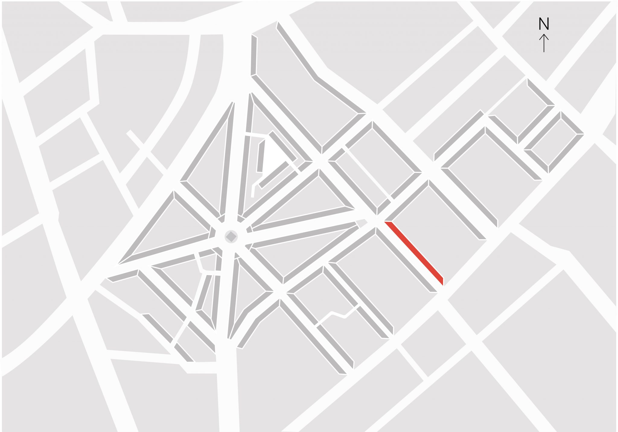
Neal Street (without an ‘e’) commemorates Thomas Neale, MP, the original developer of Seven Dials. Until 1877 it was called King Street or Cross Lane. The present numbering of the buildings was assigned in 1908. It marks the eastern boundary of Marshland Close and today defines part of the eastern edge of the Seven Dials Conservation Area. This section is entirely taken up by the housing scheme, Odhams Walk, built in the late 1970s by the Greater London Council.
The tree clusters whilst not part of the original layout, are less likely to obscure all the facades, yet provide shade in the Summer and rows of trees are not suitable for this unusual 17c/18c townscape.